


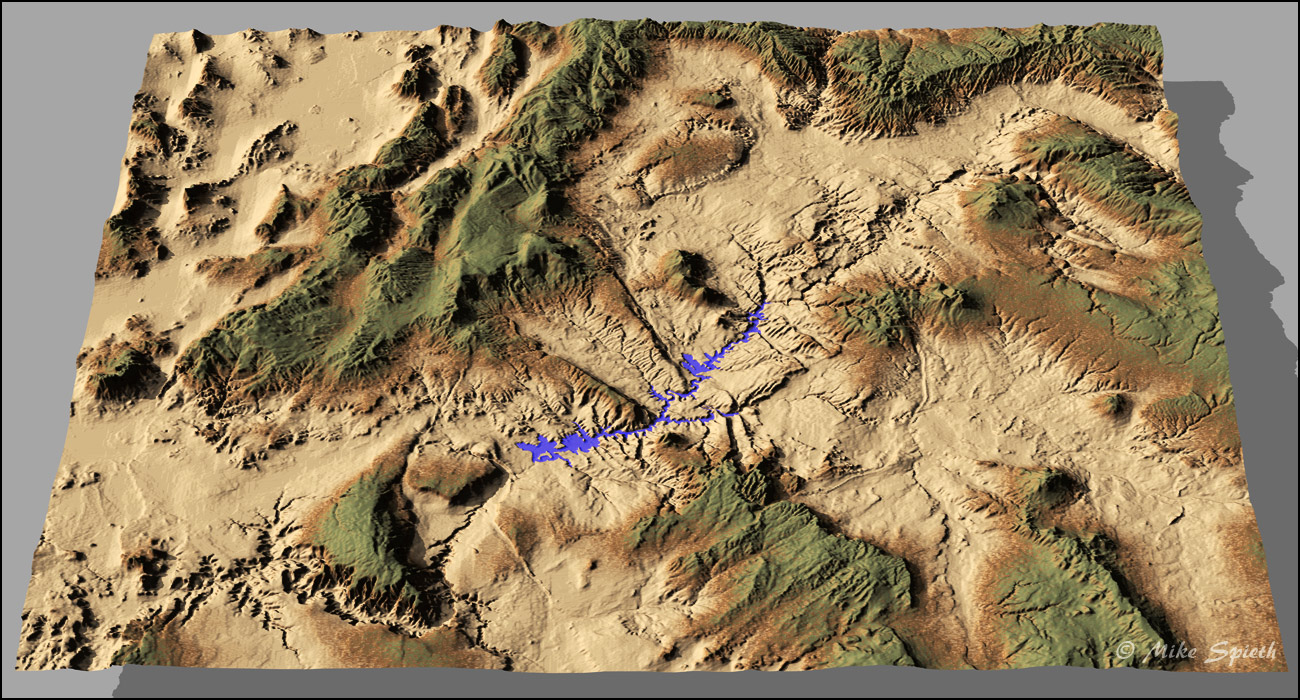
Project Powell
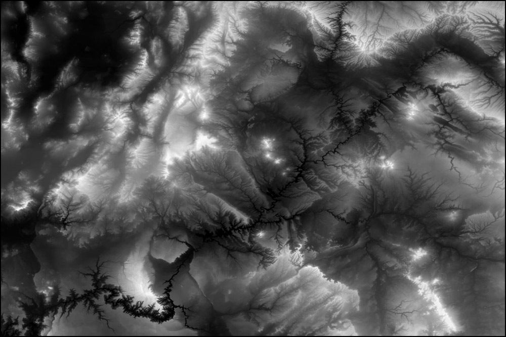
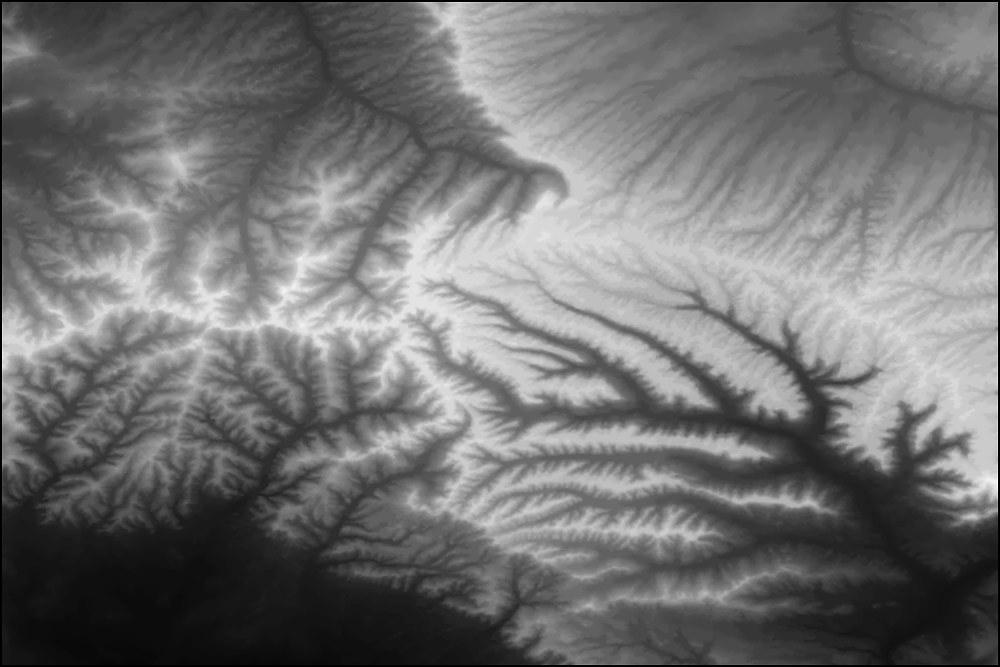
Bryce renders terrain images using greyscale-to-height maps (G2H), where black and white represent the lowest and highest elevations, respectively. The two black and white images here are examples.
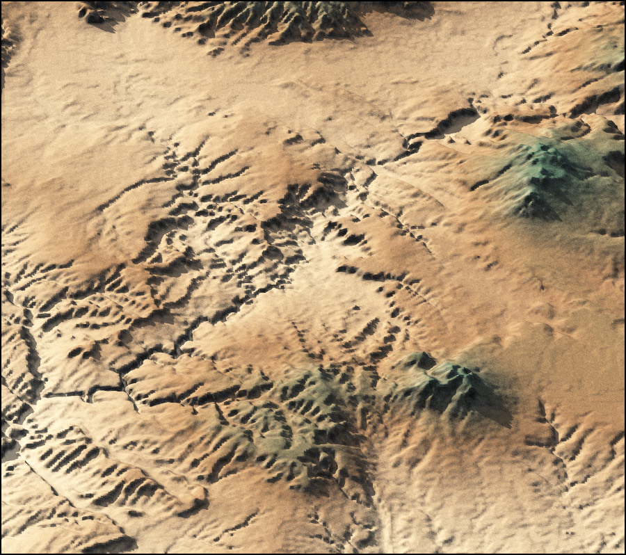
I downloaded DEM files (Digital Elevation Model) from a United States Geological Survey (USGS) website. Each file depicted a 1° x 1° piece of the United States. Due to curvature of the earth, and the necessary squashing flat of said curvature, these pieces would not line up in Bryce. I had to bring thirty of these into Photoshop and composite them into one big G2H. Back in Bryce, it became Project Powell, my first big geographical image. It represents (approximately) a 6° x 5° chunk of the Earth, about 300 miles wide!
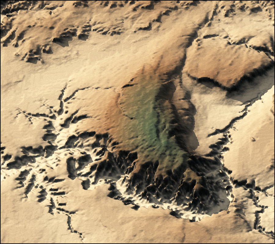
Note: the colors in these images only mimic the actual landscapes out there—it’s a convenient illusion. They’re carefully adjusted height-dependent Bryce materials applied to the landscape, showing lighter tones in the lower regions, often deserts, through brown and green in the higher elevations. Getting these materials and textures correct is critical to making the images work visually. I had to fiddle with it constantly. There is definitely vertical exaggeration—my guess is that everything is twice its normal height. Looks good, though!