


The Circle Cliffs Project
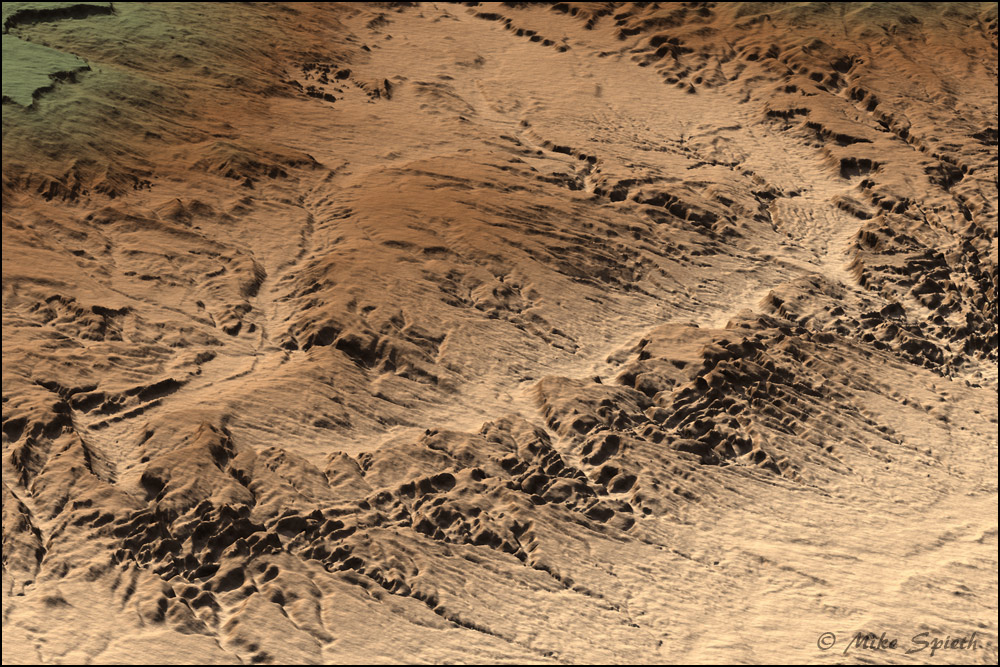
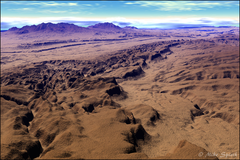
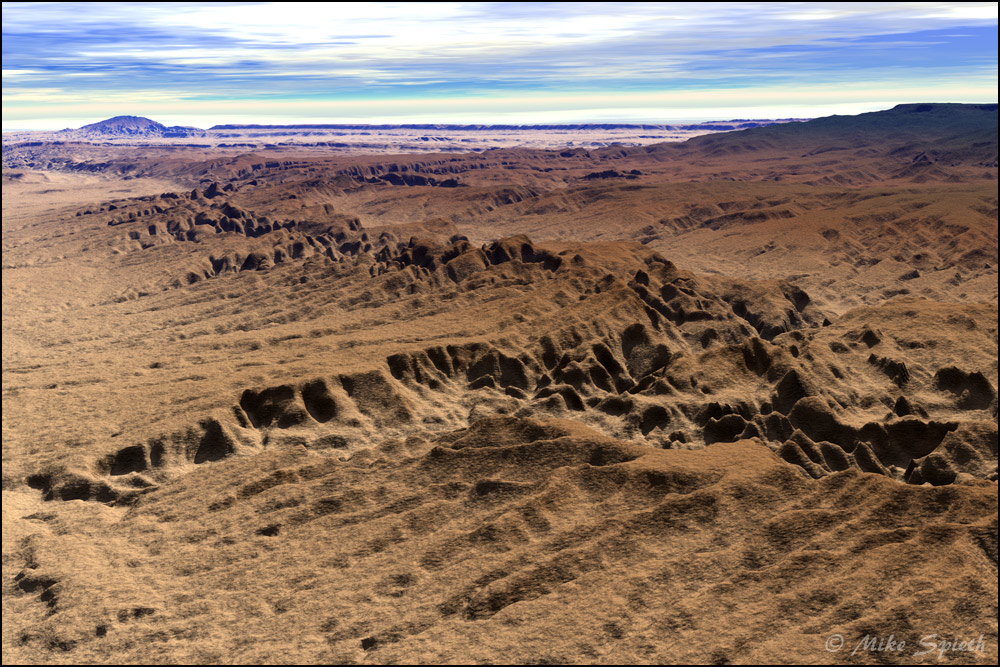
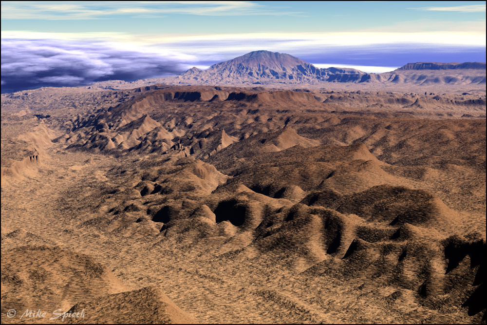
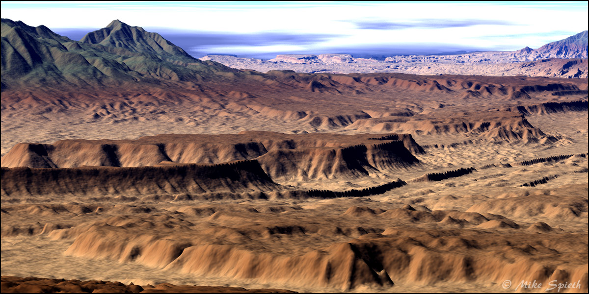
The DEM files were great for showing a huge area, but the detail was limited. A solution was found in a different type of file format, SDTS (Spatial Data Transfer Standard). Each download represented about six by nine miles of land. When I had figured out how to uncompress and unpack the data, and then which part of it went into Bryce, the next project began.
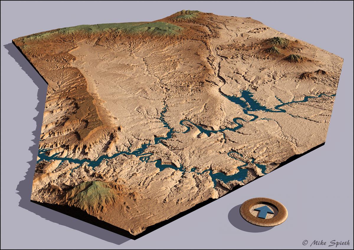
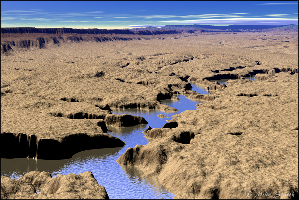
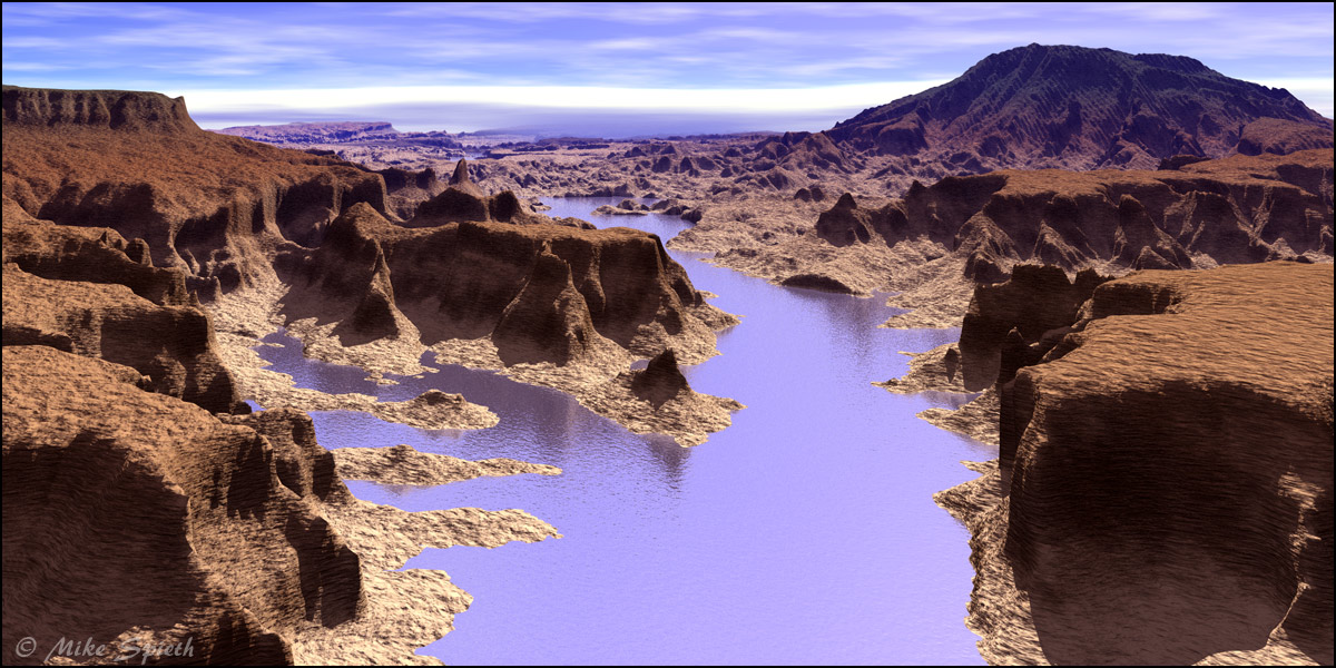
I called it The Circle Cliffs Project, after an area near to Utah’s Henry Mountains, where it all started. It grew huge, over 100 terrains all carefully lined up. After rendering in Bryce, all of the visible seams were retouched in Photoshop. The project stretches from the Henry Mountains in the upper right to Navajo Mountain in the lower left. Top Center is Boulder Mountain, and the Kaiparowits Plateau runs down the left side. The large drainage into Lake Powell, just left of center, is the watershed of the Escalante River.
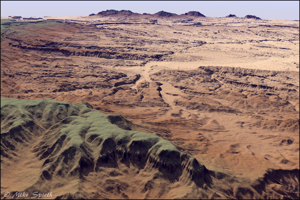
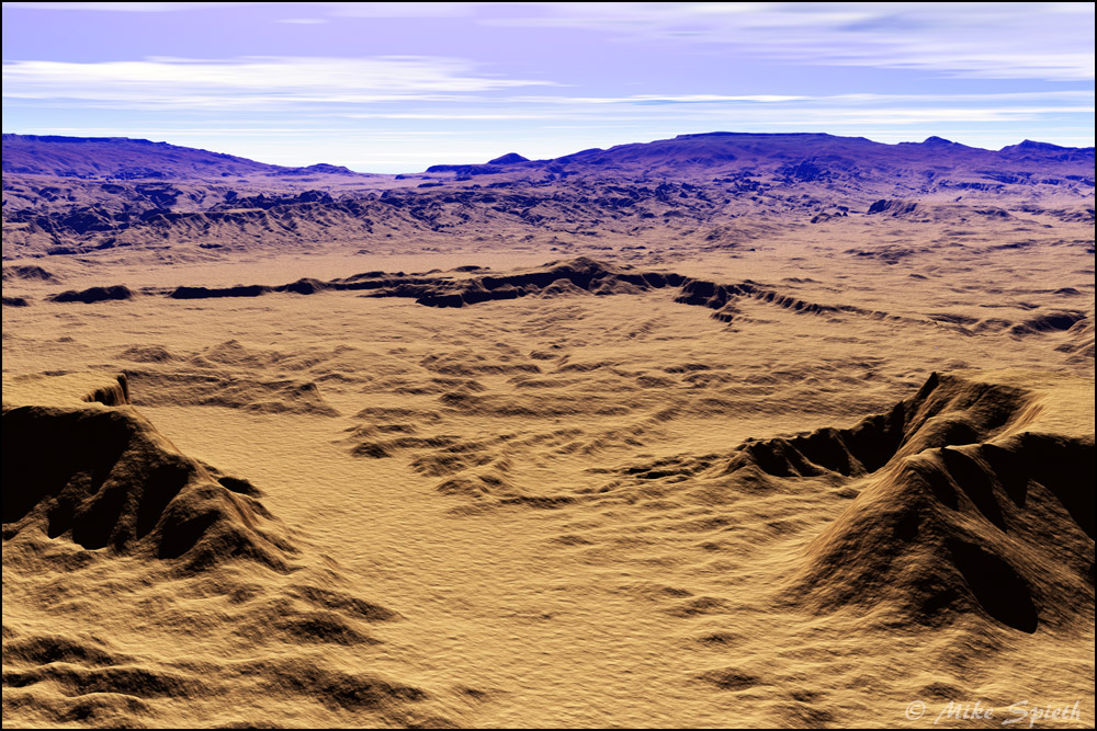
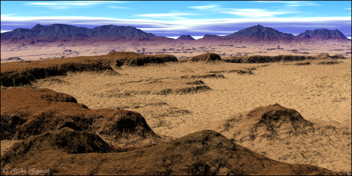
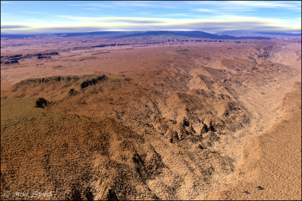
There was enough detail in the project that I could carefully position cameras inside it, resulting in views you might see in a flyover at a few miles altitude.