Lybrook Badlands Photos
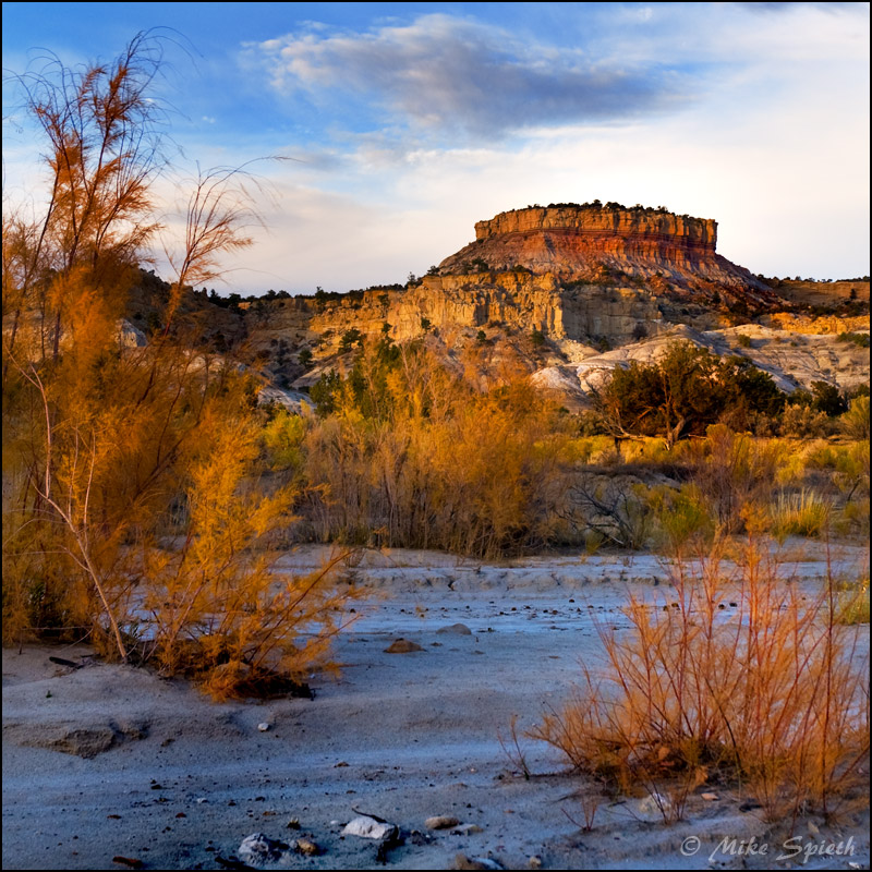
This is a hidden New Mexico gem, only a few miles to the side of a major highway, yet few people have seen it, and far fewer have actually gotten down in there to explore. In April of 2008, while returning from another badlands hike, I stopped at a colorful area to the side of U.S. 550 which I think of as the “Lybrook Nageezi Badlands,” and realizing that the vast area I had read a bit about called the Lybrook Badlands was right across the road only a mile or two, I decided to check it out a few weeks later.
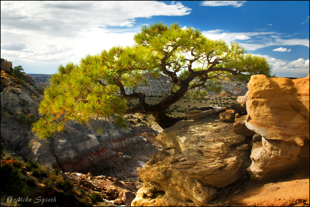
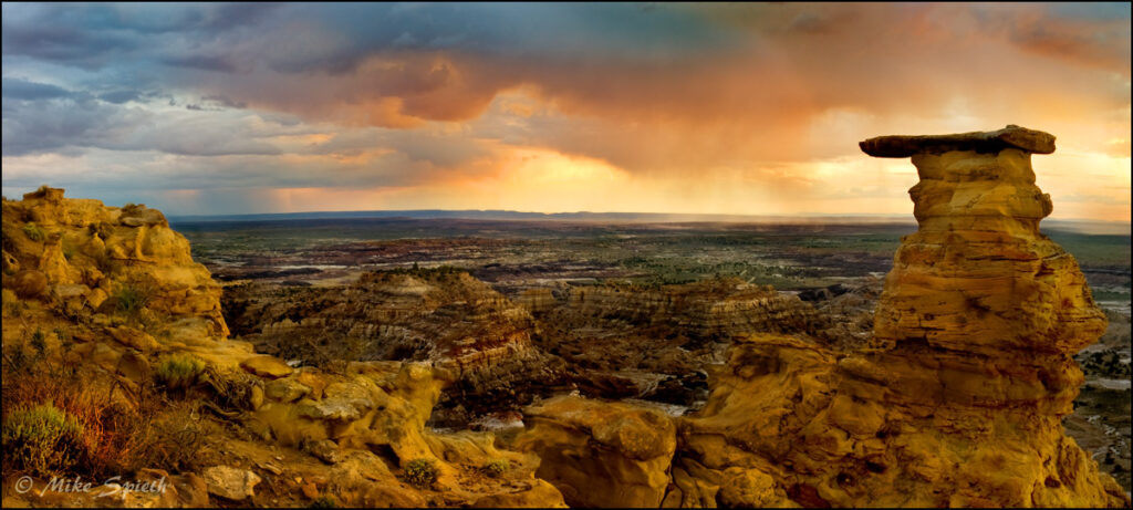
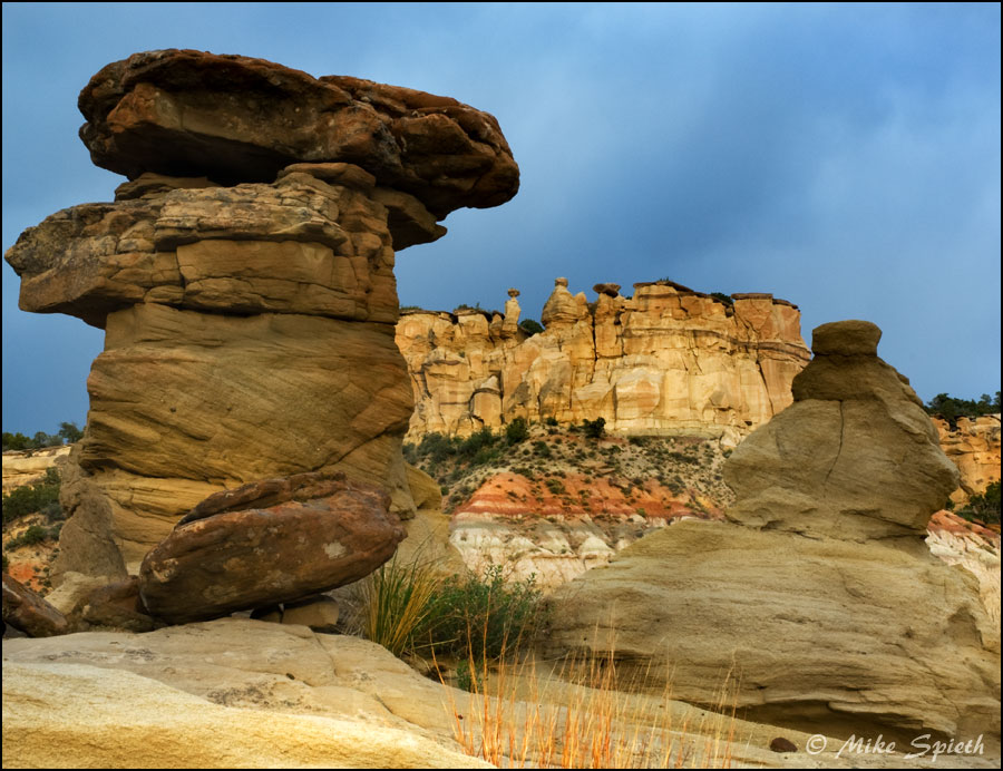
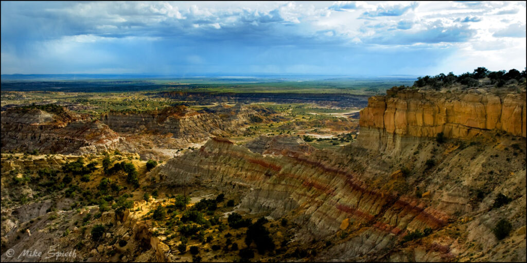
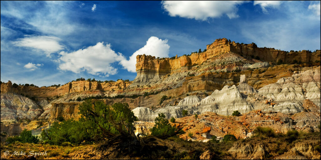
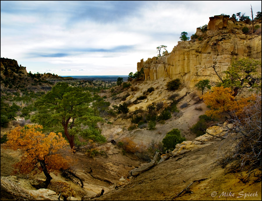
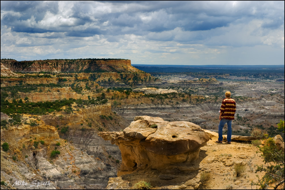
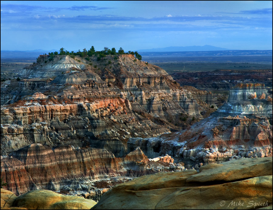
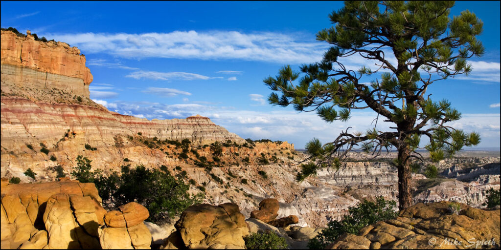
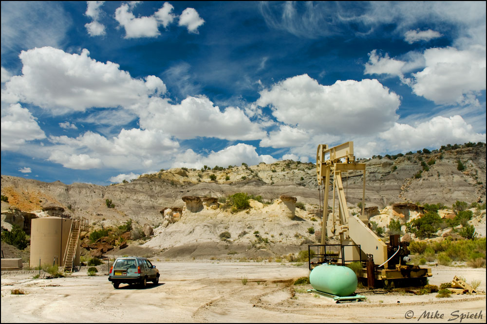
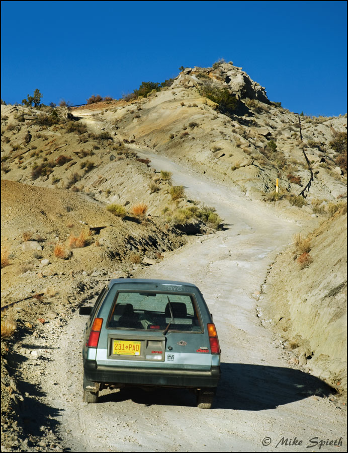
The upper parts turned out to be easily accessable, but a few sandy spots needed some four wheel drive help. There were side roads to many gas wells near the cliffs, some with spectacular views, but no apparent ways down into the vast lower badlands. For the record, there’s a lot to see up there, and at the western end of it, a few hundred feet below the “Grand Overlook,” is a wonderful area I call the “Yellow Rim,” still a well above the lower badlands.
I got in touch with some German explorers, Gerd and Silke, who had posted some Lybrook photos, and I learned that the best way in was from the west, off of the road between Nageezi and Chaco. That was the start of a months-long systematic exploration; by November I had made half a dozen trips there, eventually entering from the south at four different locations, each path branching off of a nasty east-west road, each path leading north toward the bottom of the cliffs.
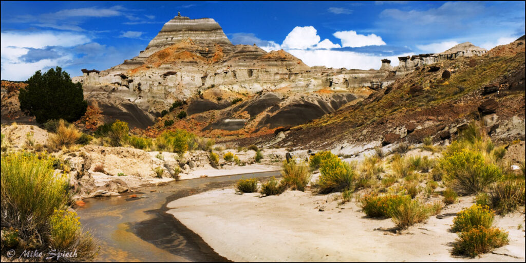
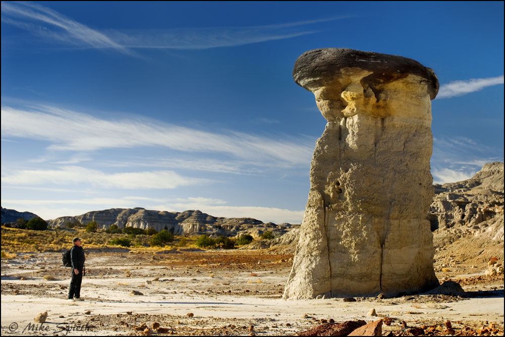
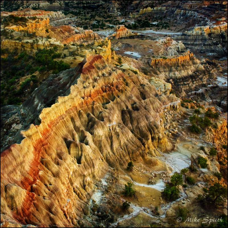
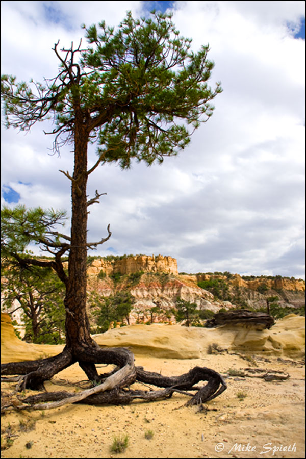
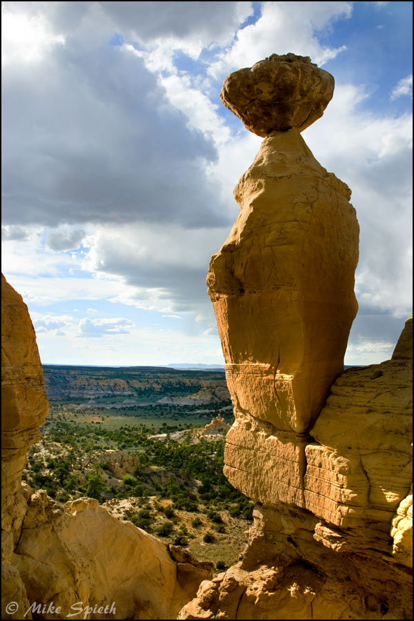
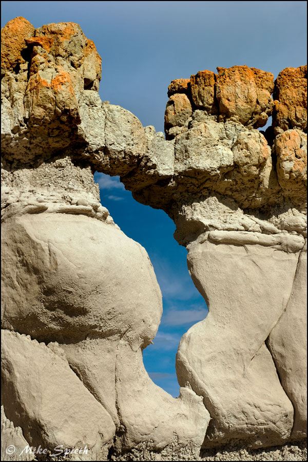
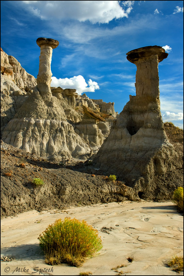
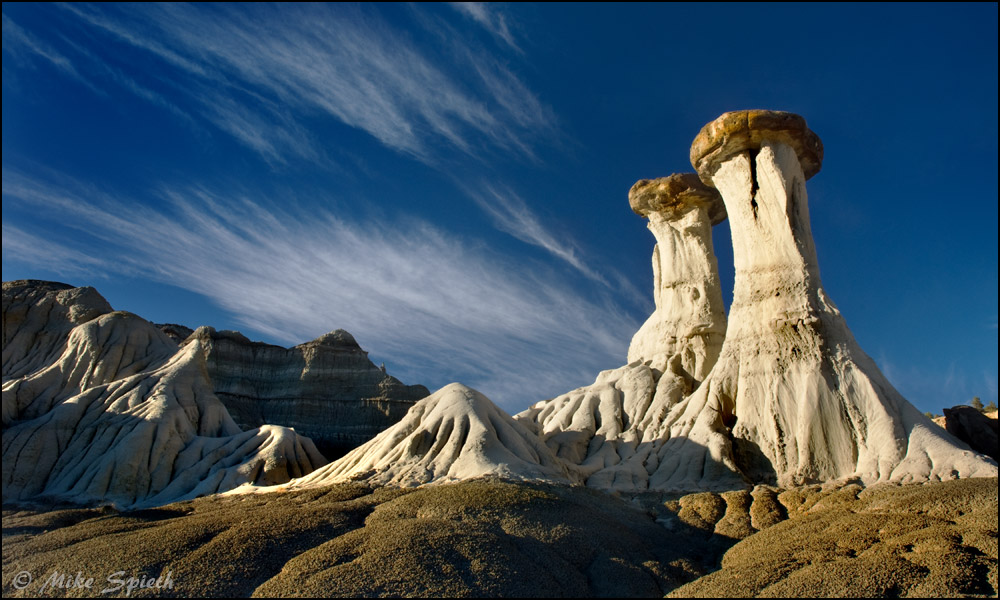
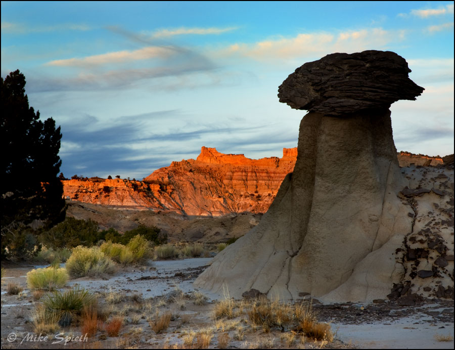
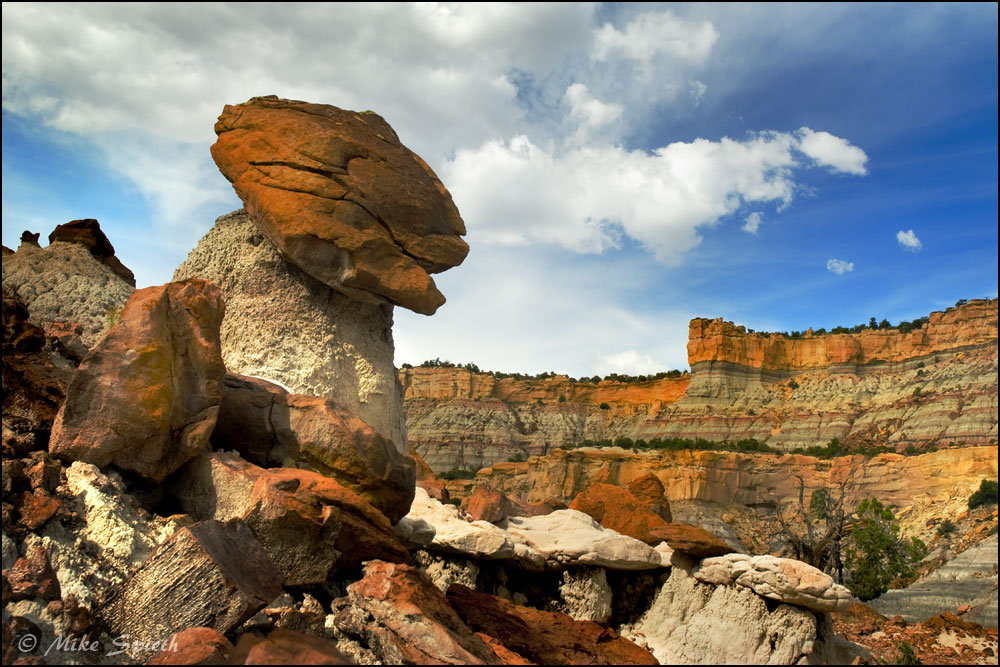
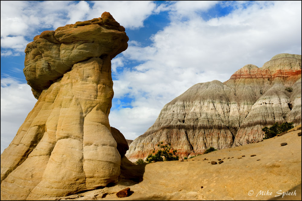
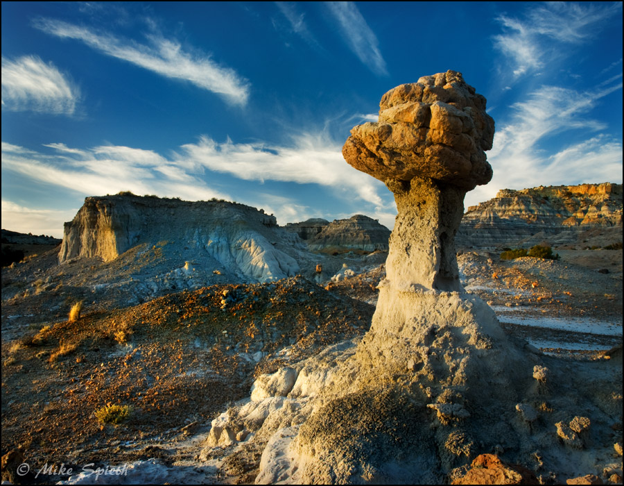
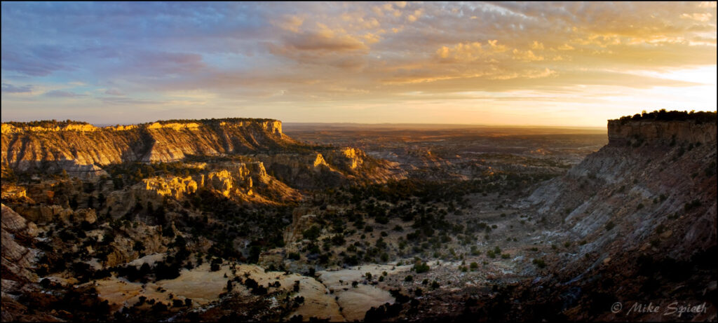
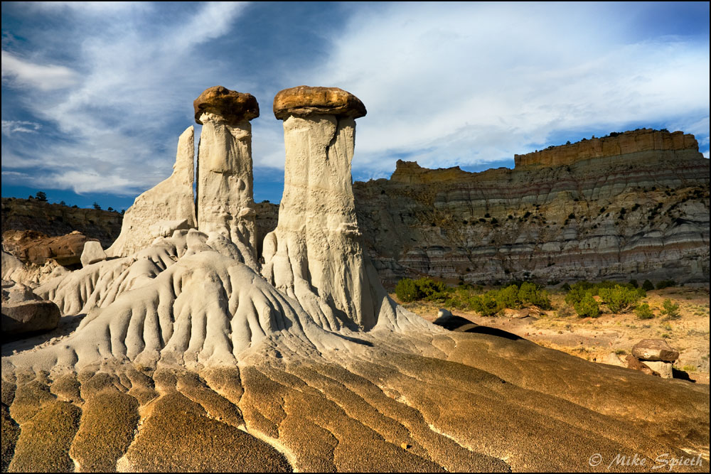
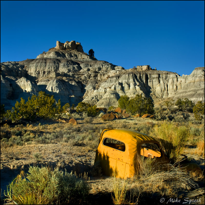
The Lybrook badlands are set apart from the other New Mexico badlands by the rugged relief of the area, the upper reaches towering many hundreds of feet over the rest, and from the top you can plot out the adventures awaiting below, like looking over a vast detailed map. It’s spectacular, and deserving of some sort of preservation. The scars from the extraction industry over the years are severe, but the resulting “roads” provide entry into some of the most rugged hoodoo-lands I have ever seen. Lybrook rewards you proportionately to your persistance, and persist you must.
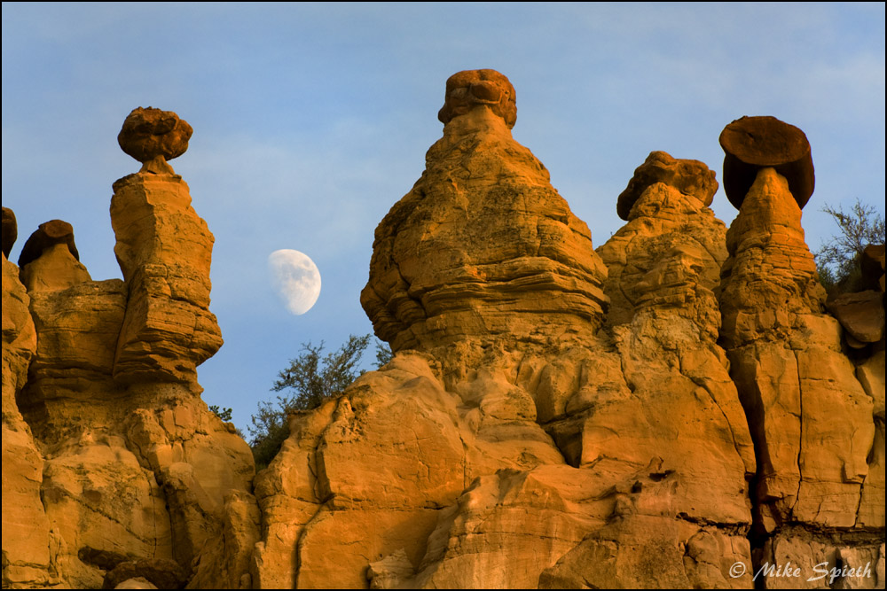
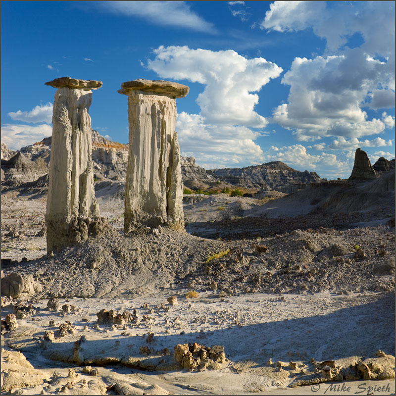
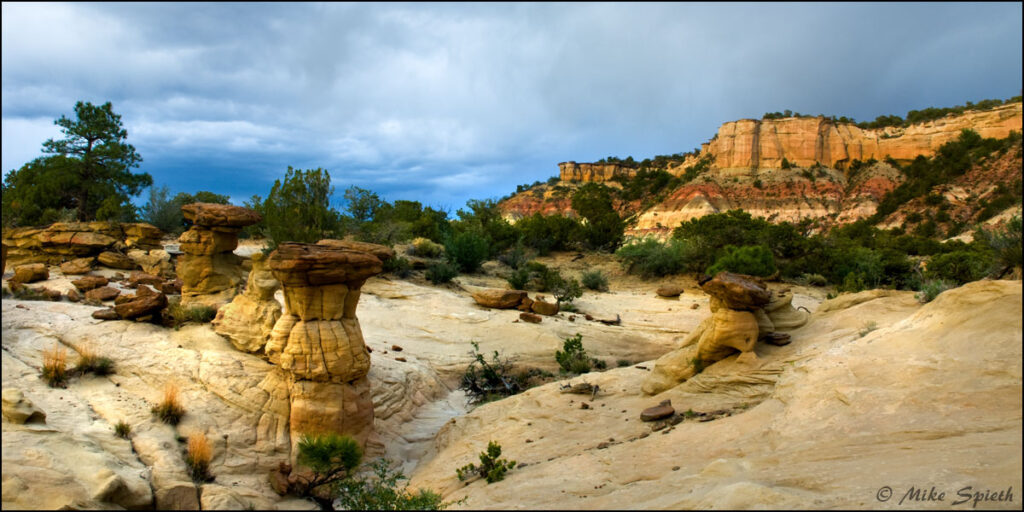
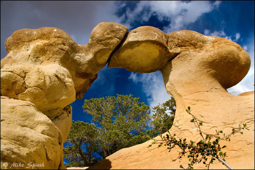
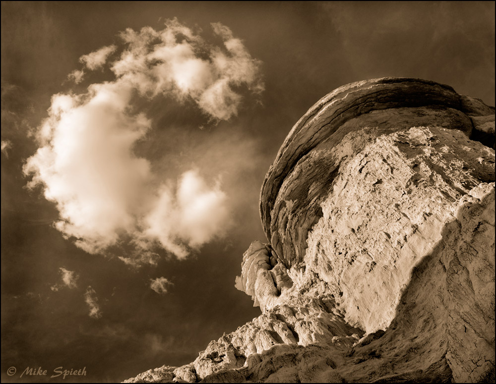
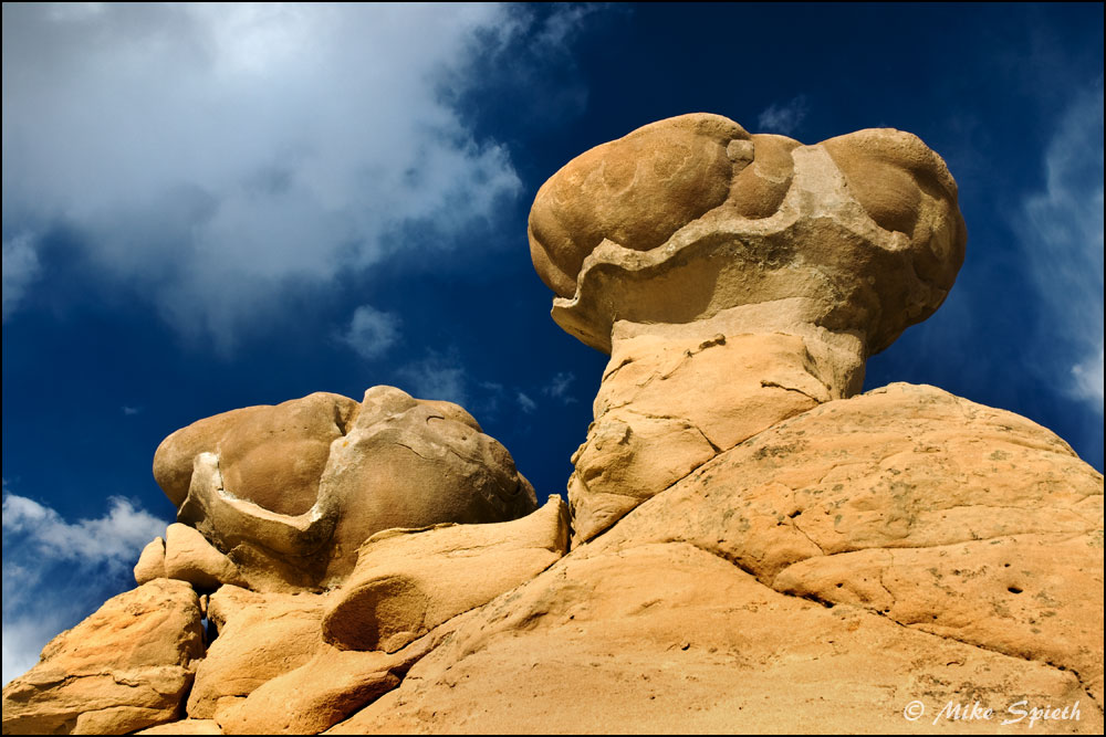
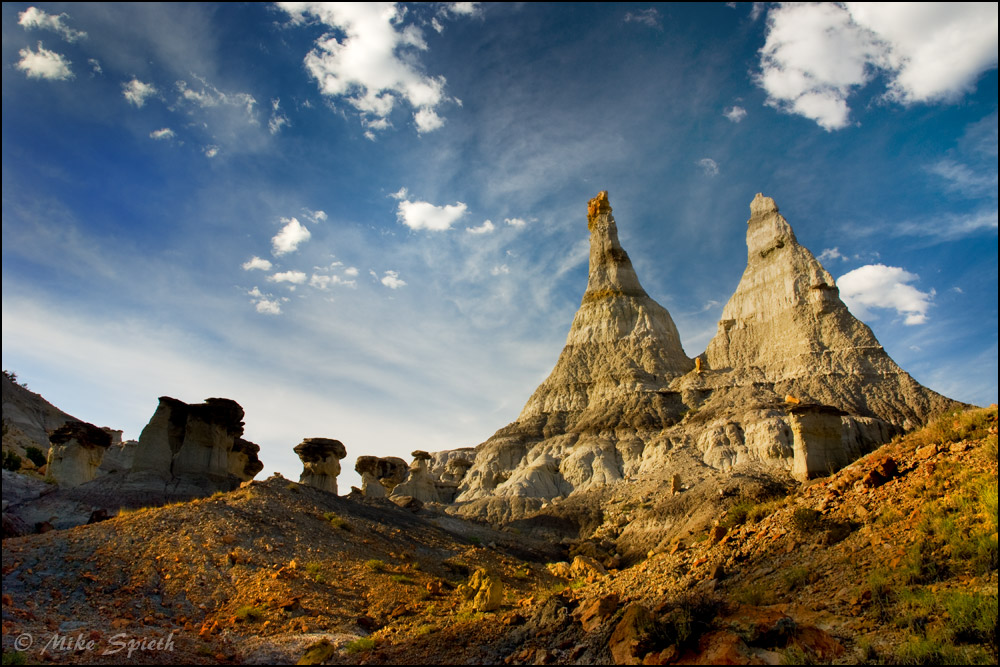
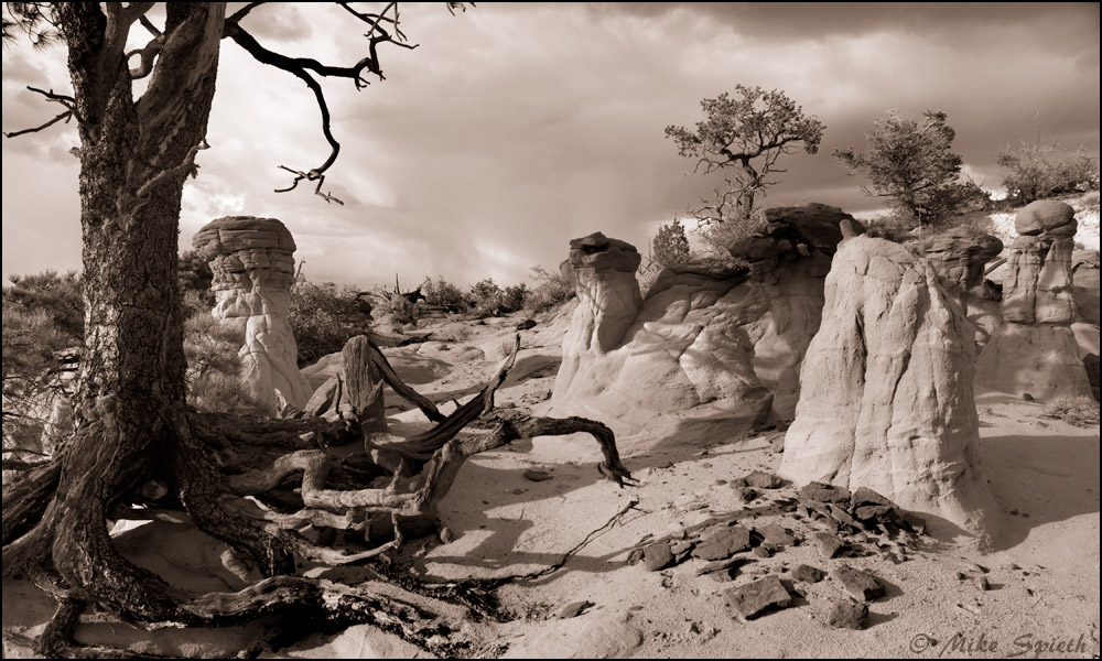
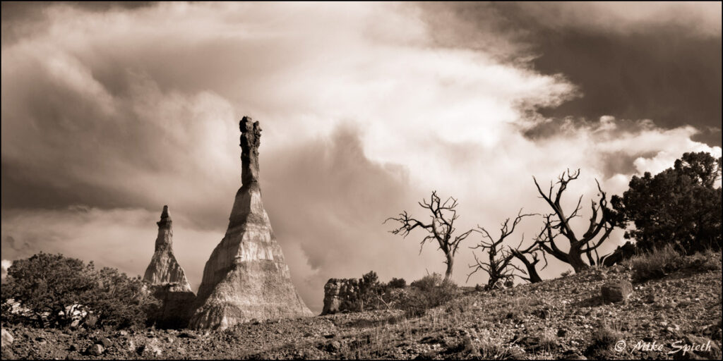
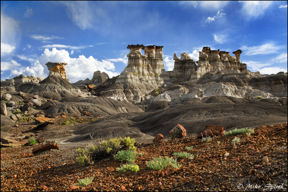
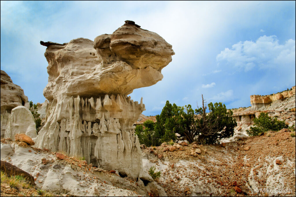
I couldn’t help but give my own names to certain areas, like the circular basin I called “Eden,” dotted with huge hoodoos, and the rugged valley that wrapped around it to the east which I dubbed “The Land of Nod.” The best hoodoos are generally at the west side of the badlands, and the closer you get to the bottom of the big cliffs, the more otherworldly things get.
Most of these photographs are also in my Badlands of New Mexico and More New Mexico Badlands galleries, but I thought it would be nice to gather them together in one place, along with photos not found elsewhere on this site.


