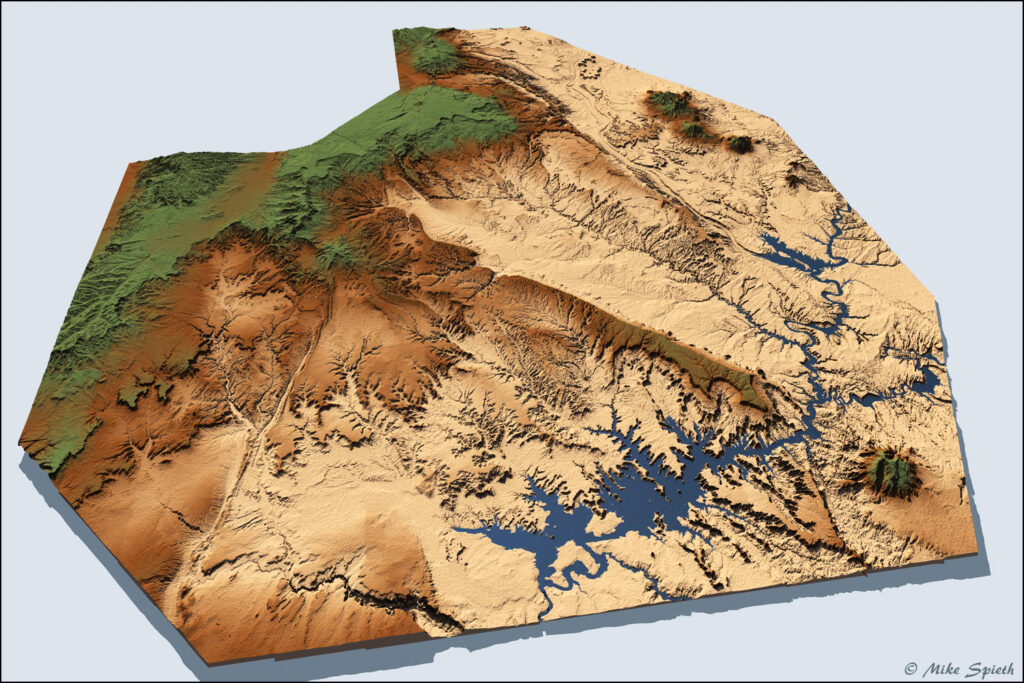
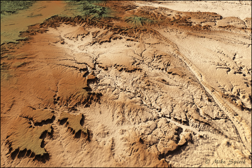
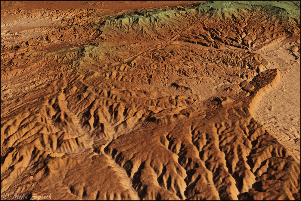
West of Escalante
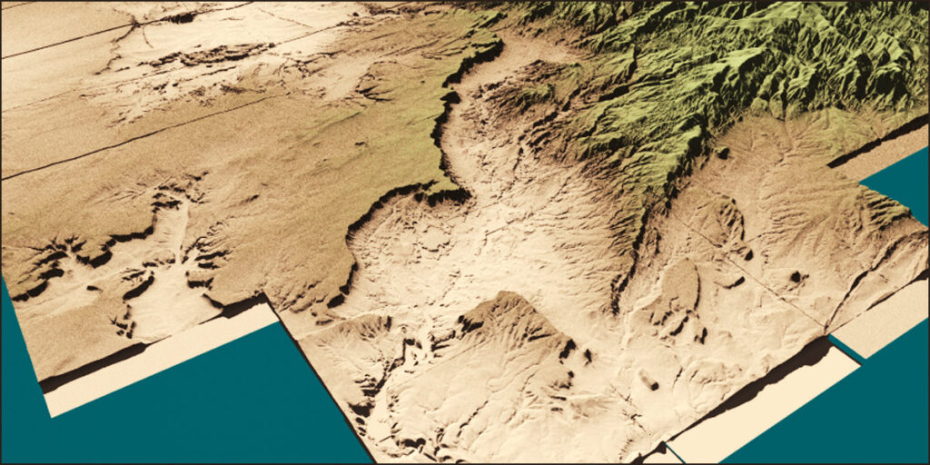
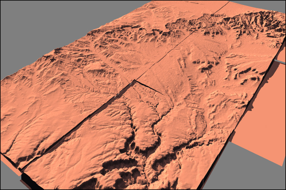
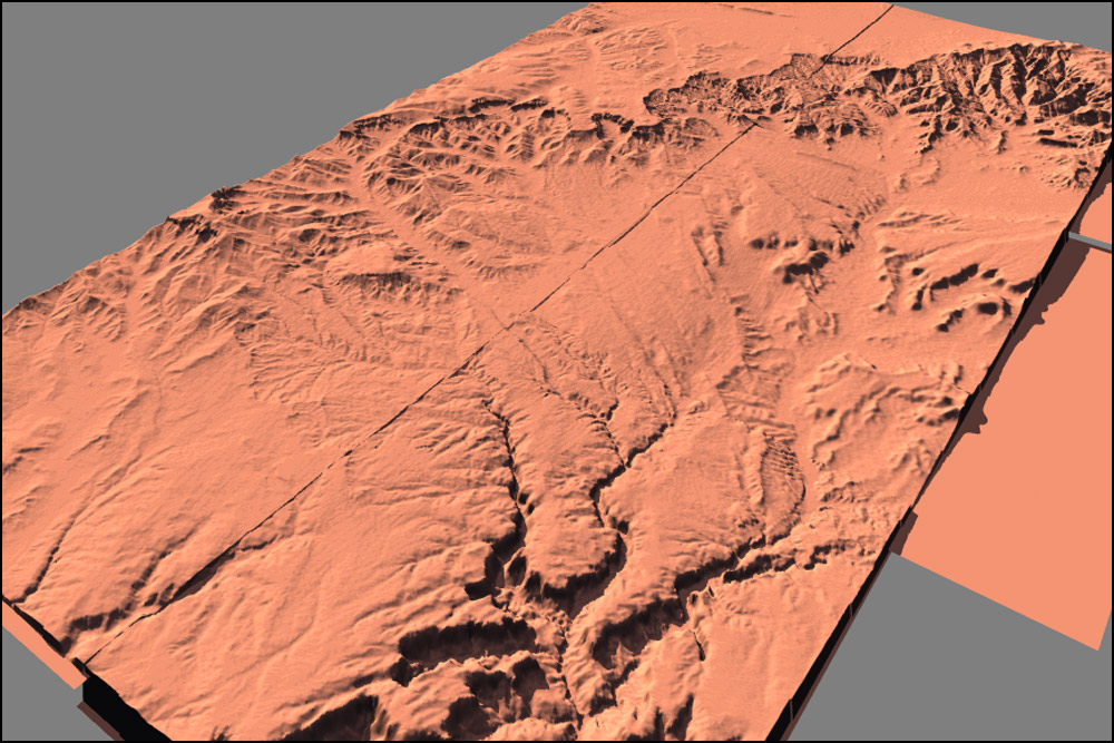
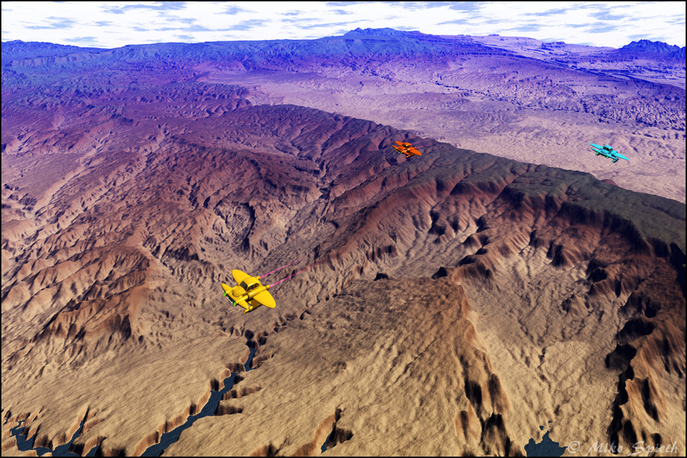
I was very satisfied with it all, but I could not help myself, making another gigantic addition to the western edge of Circle Cliffs. After all, I couldn’t leave Lake Powell half done, and the land forms westward to Bryce Canyon were calling. What’s another fifty terrains, anyway? The new total came to over 160 SDTS downloads. I called the new addition West of Escalante.
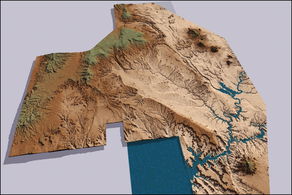
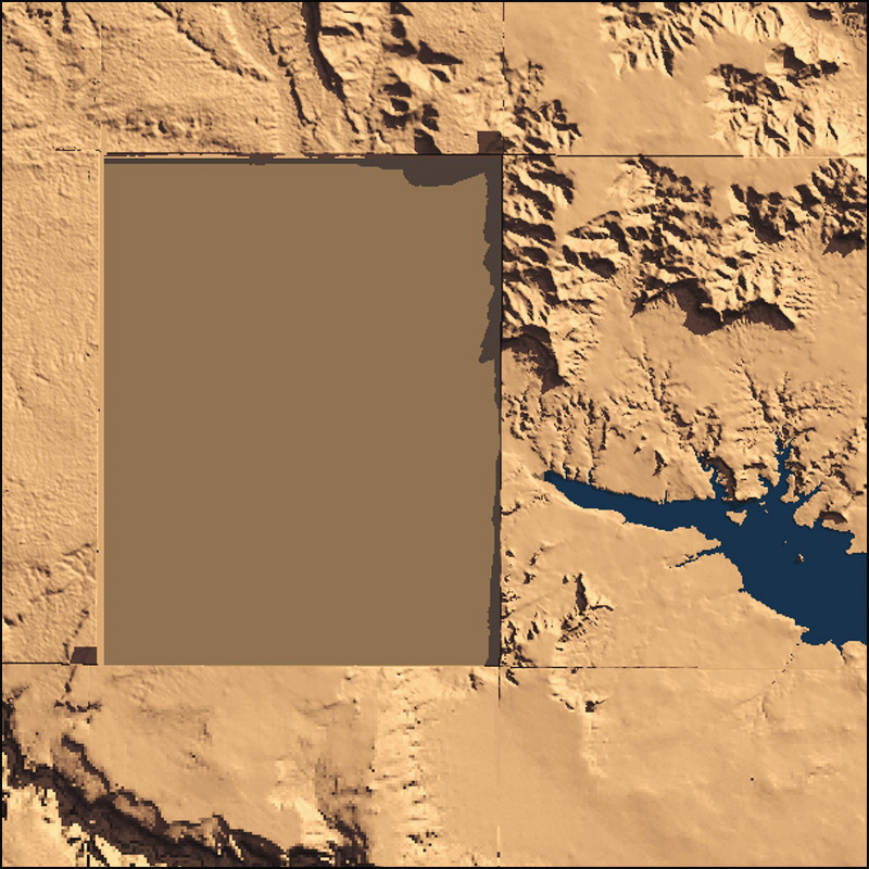
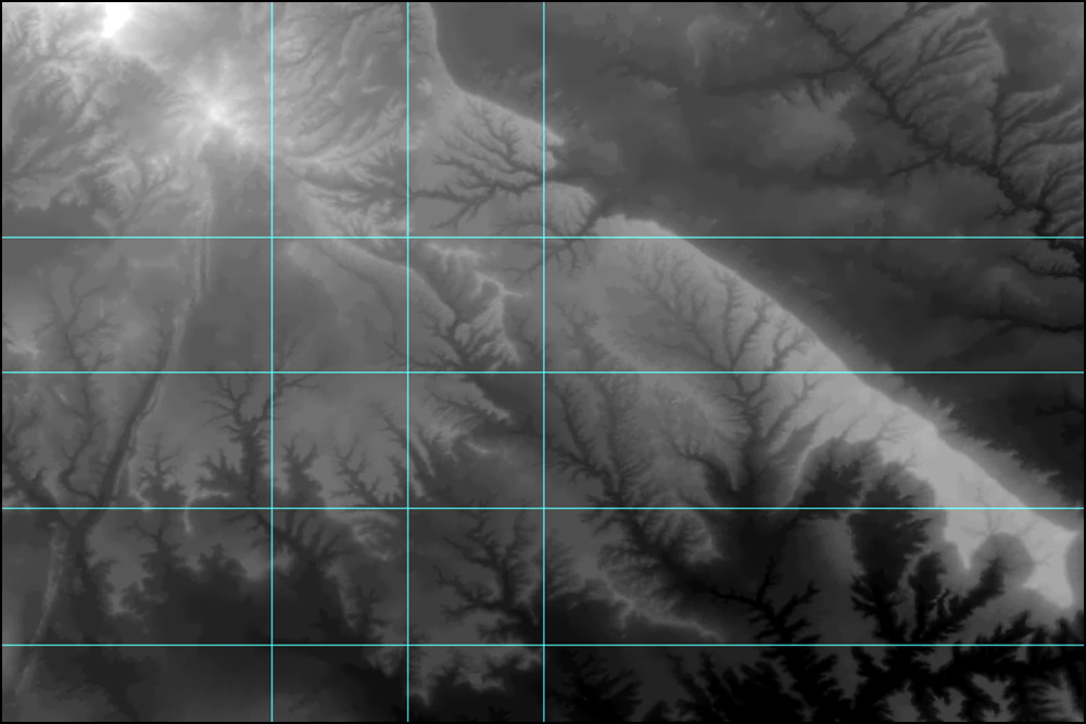
As I built westward, I found a dismaying thing: two of the needed downloads were not available! I ended up filling the holes with carefully sliced out pieces from the larger, lower resolution 1° DEM map. Lucky for me, they both occupy lower and flatter areas, and it’s hard to spot them. I also ran into a few glitches in the data which required lots of Photoshop post processing to cure.


